
CAD/BIM Tips & Tricks
How Do You Create a Digital Twin of a 100-Year-Old Lock and Dam?
18 September 2026
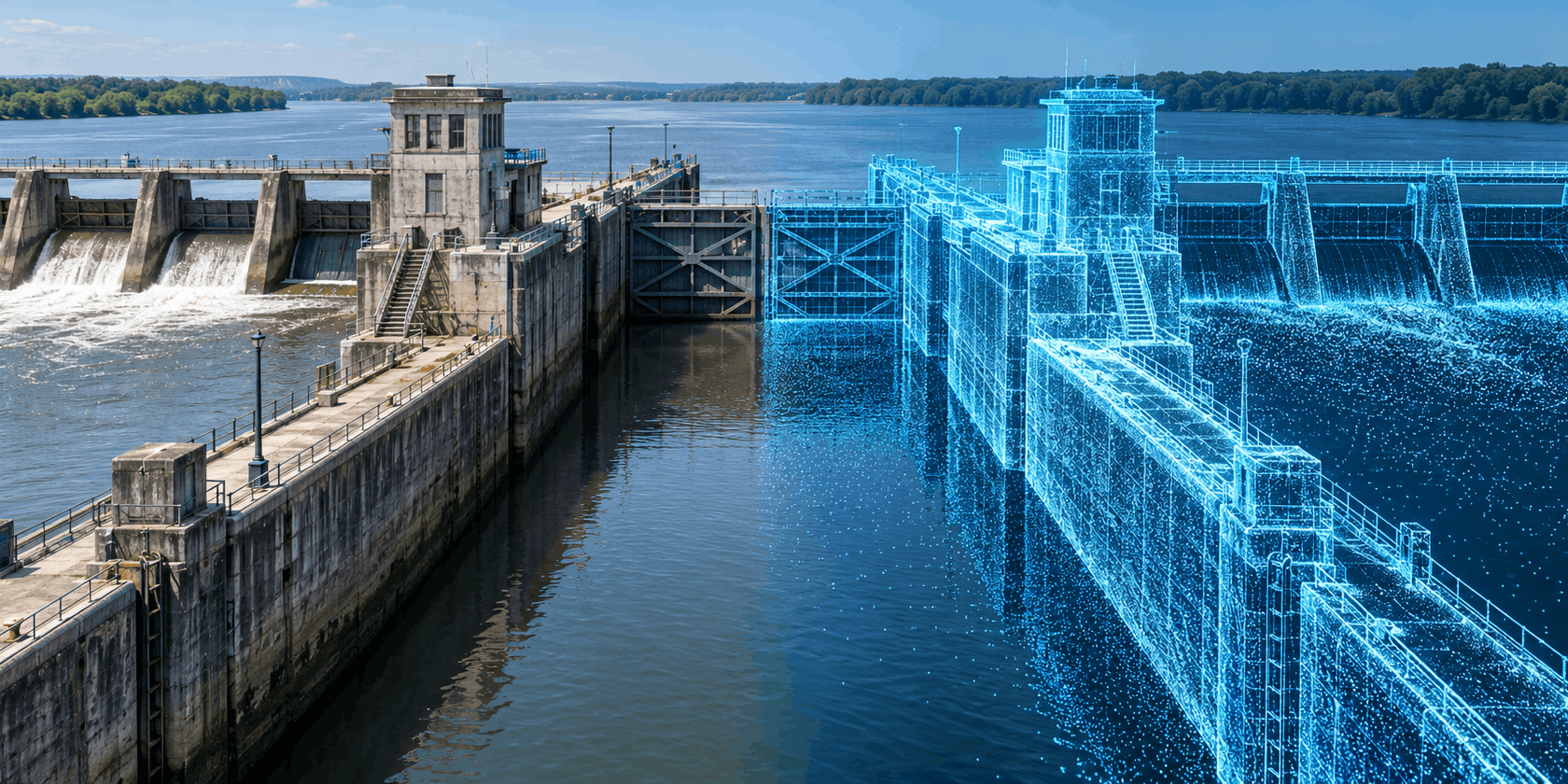
You probably know that it’s often easier to build from scratch than to renovate or remodel an existing structure. So what do you do when the structure in question is a century-old lock that’s still moving barges today?
A digital twin isn’t born when somebody simply scans a structure. It’s built by reconciling what the records say, what the instruments detect and what engineers know.
Its concrete has endured a hundred years of water, ice, pressure and vibration. Its gates and machinery may have been repaired or replaced numerous times. Somewhere there are original drawings, along with decades of inspection reports, alterations, photographs, survey notes and maintenance records, some written in beautiful cursive that reflects a different era.
Now imagine being asked to create an accurate digital twin of it. Where would you start?
The tempting answer is, “Scan everything.” True, modern laser scanners can capture millions of precise points and turn an enormous structure into a remarkably detailed digital scene. But a scan can’t identify the strength of reinforcing steel buried inside concrete. It can’t tell you whether an old drawing shows what was designed, what was built or what was changed during an emergency repair decades ago.
A digital twin isn’t born when somebody simply scans a structure. It’s built by reconciling what the records say, what the instruments detect and what engineers know. And that’s quite a process.
An Infrastructure Detective Story
The U.S. Army Corps of Engineers’ (USACE) Pittsburgh District recently described the problem it often faces. Many of its facilities are more than 50 years old and have undergone extensive work. Before planning another repair, engineers often have to work through binders of design documents and historical notes just to understand a facility’s current condition.
Some structures go back much further. The district’s former Elizabeth Locks and Dam was completed in 1907 and the original chambers at Braddock in 1906. Those facilities were designed from hand-drawn plans, sometimes with only one drawing taken to the construction site.
Historical records remain valuable, but they aren’t automatically reliable descriptions of present conditions. An old drawing may show design intent rather than as-built reality. Later changes may be recorded on a different sheet or not recorded at all. Dimensions can be unclear. Datums can differ. A piece of equipment shown in the archive may have been retired decades ago.
The first task, therefore, is information archaeology. The modeling will come later.
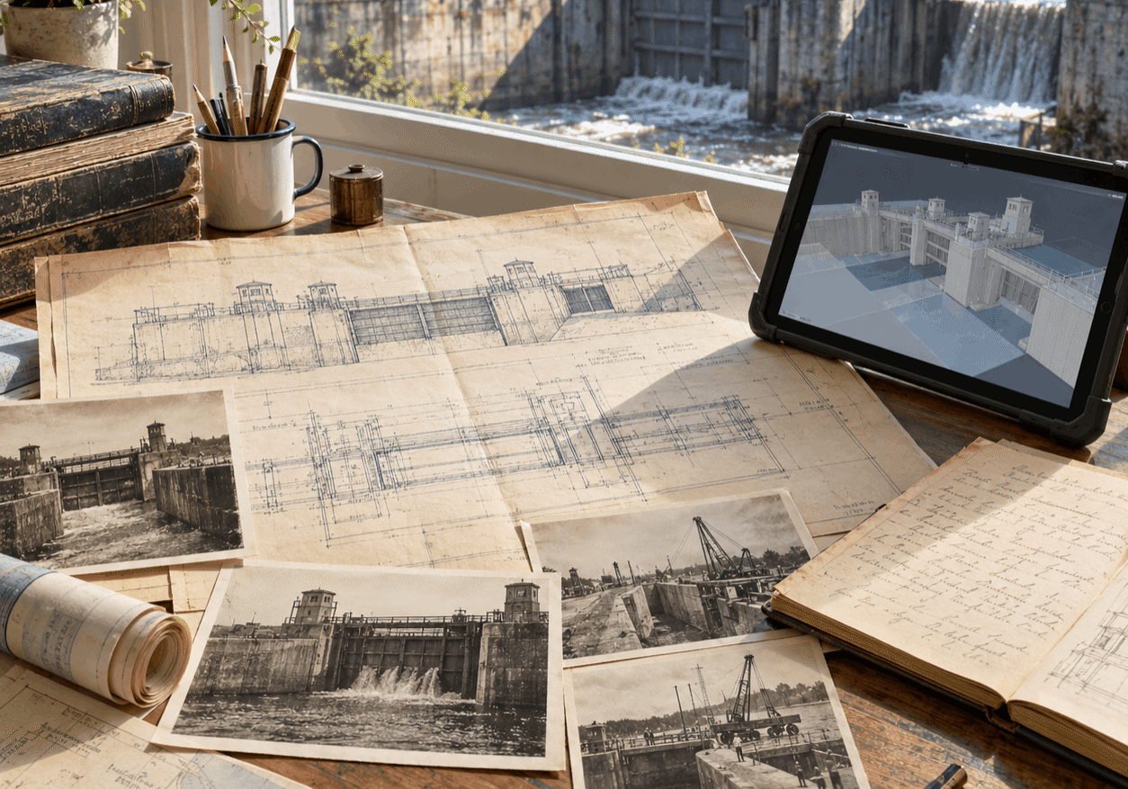
Old drawings show what engineers intended. The structure itself shows what the decades have delivered.
Engineers gather drawings, inspection reports, photographs, maintenance logs and alteration records. They identify the coordinate systems and datums used, look for conflicts, and note which facts still need field verification. Every useful claim needs a source and every uncertainty needs a label.
The uncertainties are important. A confidently modeled mistake is still a mistake, regardless of how good it looks in the model.
Measure What’s Actually There
Once the documentary evidence has been assembled, reality capture supplies the present-day geometry.
The process can combine terrestrial LiDAR, drone photogrammetry, surveying, sonar and underwater inspection. Each method sees a different part of the asset. A scanner inside a dewatered chamber can capture walls, floors, recesses and machinery. A drone can see roofs, approaches and difficult areas. Sonar or a remotely operated vehicle can examine submerged surfaces.
Reality capture on aging infrastructure isn’t simply a software command — it’s often an adventure in field engineering.
The Army Corps demonstrated the value of this combination at Lock and Dam 12 in Bellevue, Iowa. During a dewatered inspection, surveyors used a terrestrial LiDAR unit that emitted 500,000 pulses per second and collected 30 million points per scan. According to the survey team, they could extract coordinates from the data to within about five millimeters, or roughly 3/16 of an inch. Drone mapping contributed a less precise but much better aerial viewpoint.
The equipment had to be moved through parts of the lock where four to six inches of water remained, so the team built a wheeled platform to protect the scanner. That small detail tells a bigger story: Reality capture on aging infrastructure isn’t simply a software command — it’s often an adventure in field engineering.
Multiple scans are registered, or aligned, using survey control. At Lock 12, new control points were tied to points that had existed since the lock was built. That allowed engineers to examine whether its massive components had moved over time.
The combined result is a point cloud: an exceptionally detailed geometric record of visible surfaces. It can reveal deformation, misalignment, deterioration and differences between archival drawings and actual conditions.
But it still doesn’t know what it’s looking at.
Turning Points Into Engineering Information
A point cloud may contain billions of measurements, but a usable model needs objects and meaning.
Modelers interpret the captured geometry and create the lock chamber, gates, embedded features, operating machinery, buildings, terrain and other required components at an agreed level of detail. They then connect those objects to relevant non-graphical information, such as material, installation date, inspection history, manufacturer, condition rating or maintenance manual.
The level of detail should follow the intended use. A model created to plan replacement miter gates needs different information from one built for public visualization. Modeling every bolt may look impressive, but it can burden a project without helping anyone make a decision.
A point cloud may contain billions of measurements, but a usable model needs objects and meaning.
This is where old records and new measurements meet. If a laser scan contradicts a drawing, the team investigates. If a buried feature can’t be verified, it may be modeled from records but clearly assigned a lower confidence level. Ground-penetrating radar, targeted openings or other nondestructive evaluation may be needed where hidden conditions affect the proposed work.
In other words, the digital twin should distinguish between measured facts, documented facts and engineering assumptions. And uncertainty is valuable information the next engineer needs, not a flaw to conceal.
Coordinate the Disciplines
A lock and dam isn’t a single model. It’s a system involving civil, structural, mechanical, electrical, geotechnical, hydraulic and geospatial information.
Data governance is what keeps a striking 3D model from ending up abandoned as digital junk.
Those disciplines may use different authoring and analysis tools, which makes model organization and interoperability essential. Shared coordinates, naming conventions, file structures, object classifications and exchange requirements must be decided early. Quality checks are needed for model integrity, missing references, geometric clashes and mismatched versions.
USACE advanced-modeling requirements illustrate how formal this can become. They call for geographically correct site content, model and data submittals, integrity checks, interference checks, change summaries and as-built deliverables. That may sound less exciting than watching a point cloud appear on screen, but data governance is what keeps a striking 3D model from ending up abandoned as digital junk.
The software used should always support the workflow. Public accounts of current USACE lock work mention Autodesk applications and other structural-analysis tools. In practice, projects of this scale may involve information moving among several applications, file formats and engineering disciplines.
Axiom develops purpose-built tools for Revit®, MicroStation®, AutoCAD® and BricsCAD®, and has supplied software to the military. D.N. Rackmales, a USACE structural engineer, said of Microsoft Office Importer™: “It is probably the most intuitive, reliable and user-friendly program/add-on I’ve ever used. Training for the users here takes about a minute.”
Make the Model Earn Its Keep
The difference between a handsome model and a useful digital asset is evident after the first project meeting.
For design teams, the model can expose conflicts before crews discover them inside a dark, narrow chamber. It can support measurements, quantity calculations, repair alternatives, fabrication and construction sequencing. Contractors can understand the site more clearly when preparing bids. Stakeholders can see proposed work without interpreting a stack of 2D sheets.
For operations teams, the model can become a navigable index to the asset. Select a gate, pump or control system, and you can access the related inspection history, drawings and maintenance information. Compare surveys from different years and movement or deterioration may become visible. Record a completed repair and the model can preserve what changed.
The Buffalo District has used 3D modeling of the Black Rock Lock chamber to help create a maintenance plan, as well as BIM to model replacement miter gates for the lock’s original gates, which were more than 100 years old. Its survey teams use drones, laser scanners and sonar to map dams, piers, shorelines and other structures. The resulting as-is models can support repair design, progress tracking, change monitoring and long-term infrastructure management.
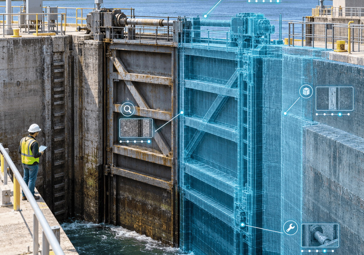
The model earns its keep when geometry, inspection history and maintenance information come together.
None of that happens automatically. If inspection findings, sensor readings and maintenance changes never flow back into the model, the model is almost outdated as soon as it’s delivered. Depending on its purpose, the asset may be more accurately called an as-is model or digital record rather than a live digital twin.
A true twin requires a stewardship plan: who updates it, which events trigger an update, what systems supply information, how changes are validated and which version is authoritative.
The Twin Is a Living Agreement
Creating a digital twin of a century-old lock and dam isn’t a matter of simply replacing imperfect paper with perfect technology. Yes, the technology is powerful, but the real achievement is bringing scattered evidence into a trustworthy engineering environment.
Historical drawings explain intent. Reality capture records visible conditions. Inspections and testing help reveal what scanners cannot see. BIM organizes geometry and asset information. Engineers resolve the contradictions, record uncertainty and decide what the model must do.
That digital twin can then help public agencies plan repairs, shorten outages, communicate with contractors and preserve knowledge that might otherwise retire along with the people who carry it.
The old structure may be made of concrete, steel and accumulated history. Its twin ensures that a century of hard-won knowledge will still be there when the next engineer needs it.

Axiom's President
Oscar Albornoz
Feel free to share this article on your social media:
